We expected the trek to be tough. Bhutan Footprints told us, "This trip is quite beautiful, but requires that trekkers are in very good physical condition, as it includes many walking hours." REI, which also leads a Chomolhari trek, rates it a 5 out of 5 on their Activity Scale: "Strenuous: Designed for very fit travelers. Trekking in Bhutan is for active people in good health who enjoy vigorous hiking. Bhutan has an 'up and down' topography, there is very little level walking. We expect participants to be strong, experienced hikers in good physical condition." National Geographic Expeditions classifies the trek as an "Ultimate Challenge!" (with an exclamation point, no less). A couple of months earlier, when we were planning this trip, we wondered whether we should choose something a little easier. It may have been that our sense of adventure was greater than our sense ... but don't all great adventures start that way?
Namgay and Tilley met us at the hotel for the drive to Drukyel Dzong, on the outskirts of Paro. There we met the trekking crew: Sonam, Namgay's right-hand-man; the cook, who we knew only as "Cook;" the wrangler ("the Horseman"); and seven mules and two horses. While the team loaded our two duffel bags and the rest of the gear onto the animals, we talked with a group of older Dutch tourists who were visiting the dzong. They were as excited about our trek as we were -- if we'd had enough sleeping bags, we're sure they would have joined us!


Our trek route was to follow the Paro River, the same river that ran in front of Rimpung Dzong. The first day's hike was gentle and easy, with dirt roads and small villages giving way to farmland.


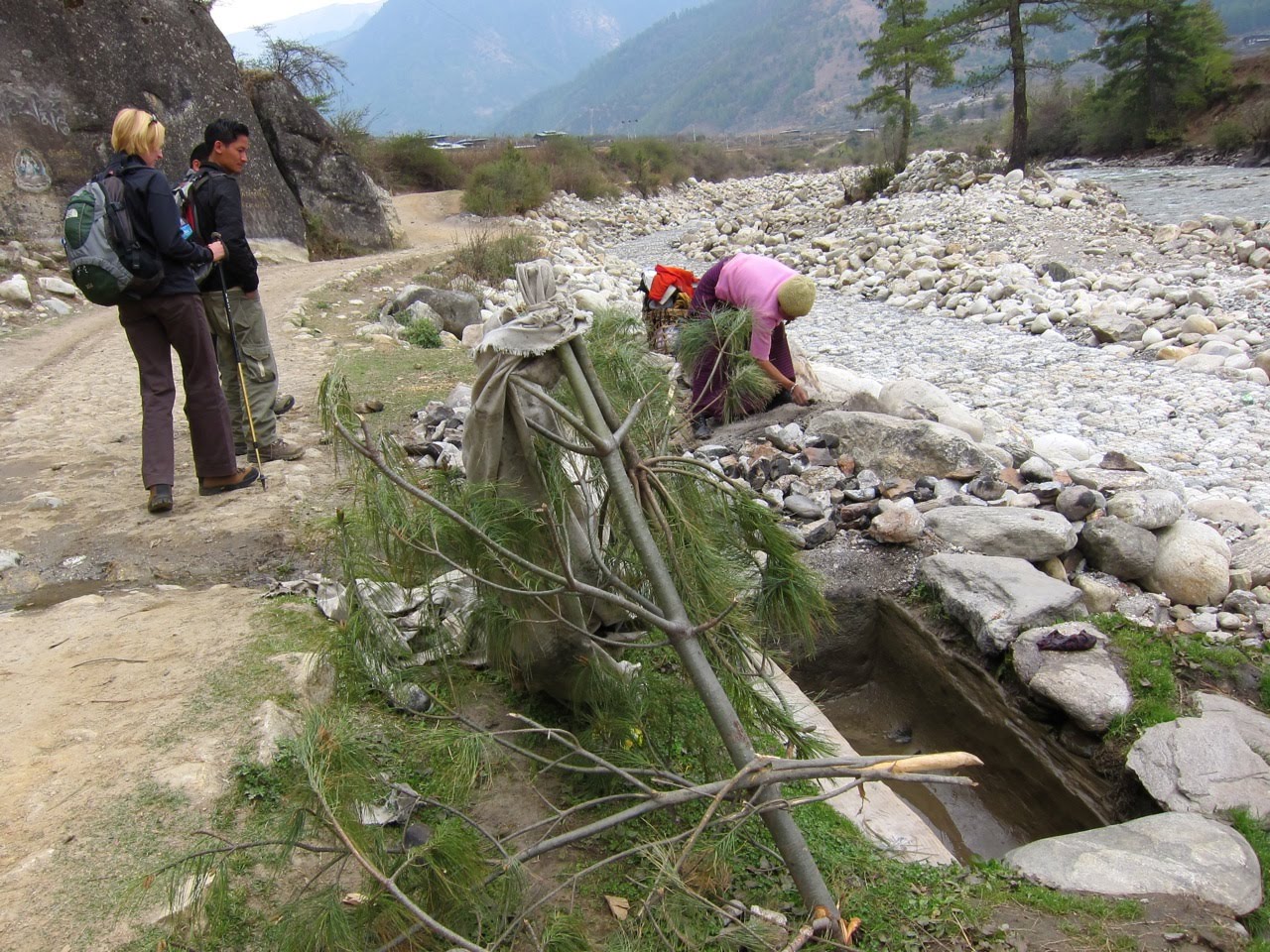
We passed a woman preparing a traditional hot stone bath on the bank of the river. The river would fill the stone trough, and she would drop stones heated in a small campfire into the water to bring it to an appropriately therapeutic temperature. Namgay explained that the Bhutanese use hot stone baths with traditional herbs and salts to heal all sorts of ailments.
Our walk took us through a schoolyard at lunchtime. We wondered whether the mothers who prepared these lunches knew who ate them!


Crossing and re-crossing the river, we snaked through terraced rice paddies and millet fields punctuated with apple trees, as forests of firs and blue pines stood watch on the hills rising all around us.


We eventually made our way into the Jigme Dorji National Park, where we planned to spend the next seven days. This is Bhutan's largest national park; it is named after the third king, who is considered the father of modern Bhutan. After the Bhutanese Army checked our visas and trekking passes at a military camp next to a small school, we headed deeper into the hills.


Namgay contemplated a hill that would be a major challenge of the second-to-last day of the trek. "Many rocks," he told us, "going downhill for two, maybe three hours. I always hate that part."

This farmhouse has a set of white manidhar prayer flags, erected to the memory of a deceased loved one. The flags are printed with prayer texts to bless the dead and set within sight of the river where they will catch the wind. The Bhutanese believe that the wind will carry the prayers to the river, where the prayers will float as long as the river runs.


Around 4:00pm we reached our campsite at Shana Zampa, much to the relief of the mules.


The cook made a great dinner of rice, asparagus, beef and chilies. At the end of the meal Namgay broke out a bottle of Bhutanese Special Courier whisky, which is made by the Bhutanese Army Welfare Project. We talked for a while about the wildlife we might see on the trek. "Are there bears?" Jennifer asked. Namgay told us that there were a couple of species of bear in the park, but it was unusual to see them. Taking a sip of whisky, he looked at us solemnly.
"But I think the Himalayan bears like the taste of Americans best."
We were still laughing as we settled into our sleeping bags on a lovely, cool night.

Distance: 10.6 miles (17 km)
Altitude gain: 1,180 feet (360 meters)
Final altitude: 9,350 feet (2,850 meters)
Estimated time: 4-6 hours
Actual time: 5.5 hours

1 comment:
The trek up and down the terrain, tenderizes the American muscles so they are nice and yummy...
Post a Comment